

Although Florida theme parks are open again, we’re still in the middle of hurricane season in Central Florida.
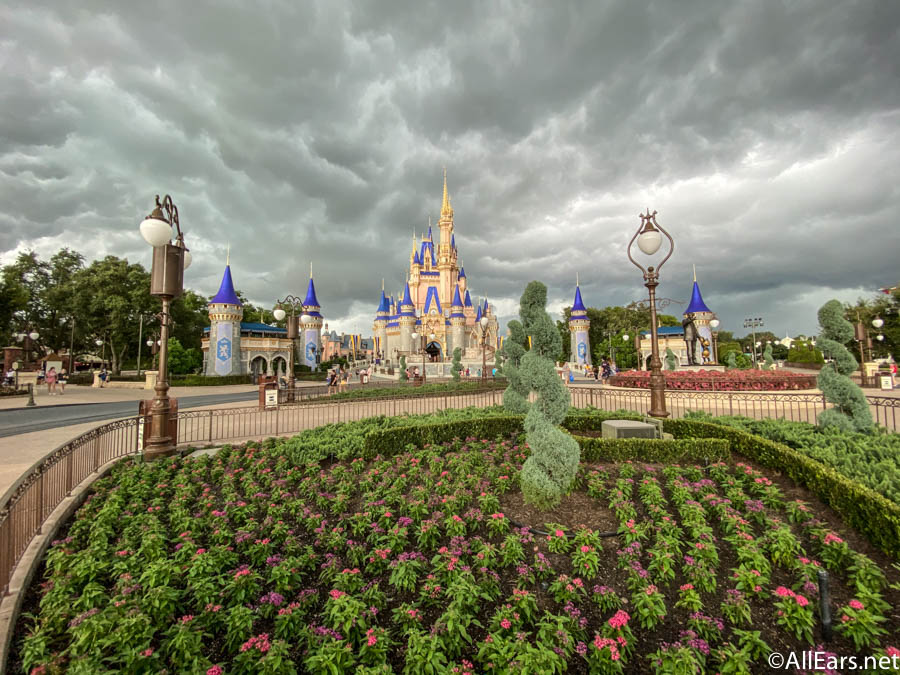
Since hurricane season lasts from June to November, it’s important to consider if a storm will be making its way to Florida when you will be visiting. While we’re continuing to keep an eye out for weather details during this time, people visiting or living in Florida should be aware of the next possible storm currently on its way.
According to the Orlando Sentinel, potential Tropical Cyclone Nine looks like it is on the road to becoming Tropical Storm Isaias if it continues to develop. While the storm has been moving at 23 miles per hour with maximum winds of 45 miles per hour located 55 miles south of Dominica and 350 miles off the coast of San Juan, Puerto Rico, Florida is still currently lying in its projected path.

Although Florida is in the forecast cone, the tropical storm has started to move more westerly without details of a long-range track. A tropical storm warning was issued for the north coast of Haiti and northern border of the Dominican Republic this morning. Plus, a tropical storm watch was put into place for islands like the Acklins, Crooked Island, Inaguas, Long Cay, Mayaguana, and the Ragged Islands.

The full list of areas under the tropical storm warning include: “Puerto Rico, Vieques, Culebra, the U.S. Virgin Islands, the British Virgin Islands, Antigua, Barbuda, Montserrat, St. Kitts, Nevis, Anguilla, Guadeloupe, Martinique, St. Martin, St. Barthelemy, Saba, St. Eustatius, St. Maarten, Dominica, and the Dominican Republic from Cabo Caucedo eastward to Cabo Engano.”

The center of the storm is expected to move through the Leeward Islands, where tropical storm conditions are already occurring. The path is then supposed to go through the Virgin Islands and Puerto Rice tonight, Hispaniola on Thursday, the Bahamas on Friday, and South Florida on Sunday.
If it arrives in Florida, the storm’s landfall could, at this time, happen near Broward County with heavy rains and winds throughout the weekend in Central Florida. At this time, the National Hurricane Center believes there is a 90% chance the storm will develop into Tropical Storm Isaias over the next two to five days.

National Hurricane Center’s senior hurricane specialist Eric Blake has stated that “Satellite images indicate that a large burst of convection is occuring near the poorly defined center, which will likely lead to the system becoming a tropical storm later today. Further intensification is possible before landfall in the Dominican Republic on Thursday, assuming the structure continues to improve, and the wind speed forecast is adjusted slightly higher in the near term.”

If there’s one thing certain about tropical Storms and Hurricanes, it’s that they can change a good deal between their early development and making landfall, so we’ll continue to monitor the situation. We’ll continue to keep you updated with information about Tropical Storm Isaias’s development! We have a wonderful resource for weather forecasts for the Central Florida area you can find here!
Here are the tips you need to know for planning a Disney vacation during hurricane season!
Join the AllEars.net Newsletter to stay on top of ALL the breaking Disney News! You'll also get access to AllEars tips, reviews, trivia, and MORE! Click here to Subscribe!

Are you planning on heading to Disney World any time soon? Let us know in the comments below!


Trending Now
If you’ve been trying to find a water bottle that survives rope drop through fireworks,...
From Marvel tees to Super Mario shirts, these retro shirts are worth checking out on...
We've compiled a list of some of the best items you should pack for your...
Let's talk about some of the downsides to staying at Disney's Port Orleans Hotel.
New snacks are coming to Disney World and Disneyland.
New Stained Glass Disney Loungeflys just released on Amazon!
Upgrade your Universal fit with these new Loungefly souvenirs!
Disney is bringing some major elements to their newest hotel.
The Electric Mayhem is taking over Rock ’n’ Roller Coaster, and Disney just revealed the...
Disney has recently updated the pre-show procedure for Guardians of the Galaxy: Cosmic Rewind in...
There's a LOT happening at Disney World, and the executives have thoughts on it all!
One of the most unique merchandise spots in Disney World has just closed its doors,...
These DIY-style options are great for gifts or to keep for yourself.
We are sharing the must-have souvenirs from Galaxy's Edge in Disney's Hollywood Studios!
Lots of ride closures are scheduled at Disneyland this April.
This summer is the best time of year to be an Annual Passholder!
The major summer savings are back again in 2026.
From lost luggage sagas, to flight cancellations leaving people stranded, our readers shared some budget...
Disney's Blizzard Beach water park is home to one of the fastest water slides in...
This spot reopened a day EARLY in EPCOT!