

This post was updated on January 9th, 2025.
If you’ve been watching the news, you may have noticed that some serious windy conditions in California had started wildfires in the state.
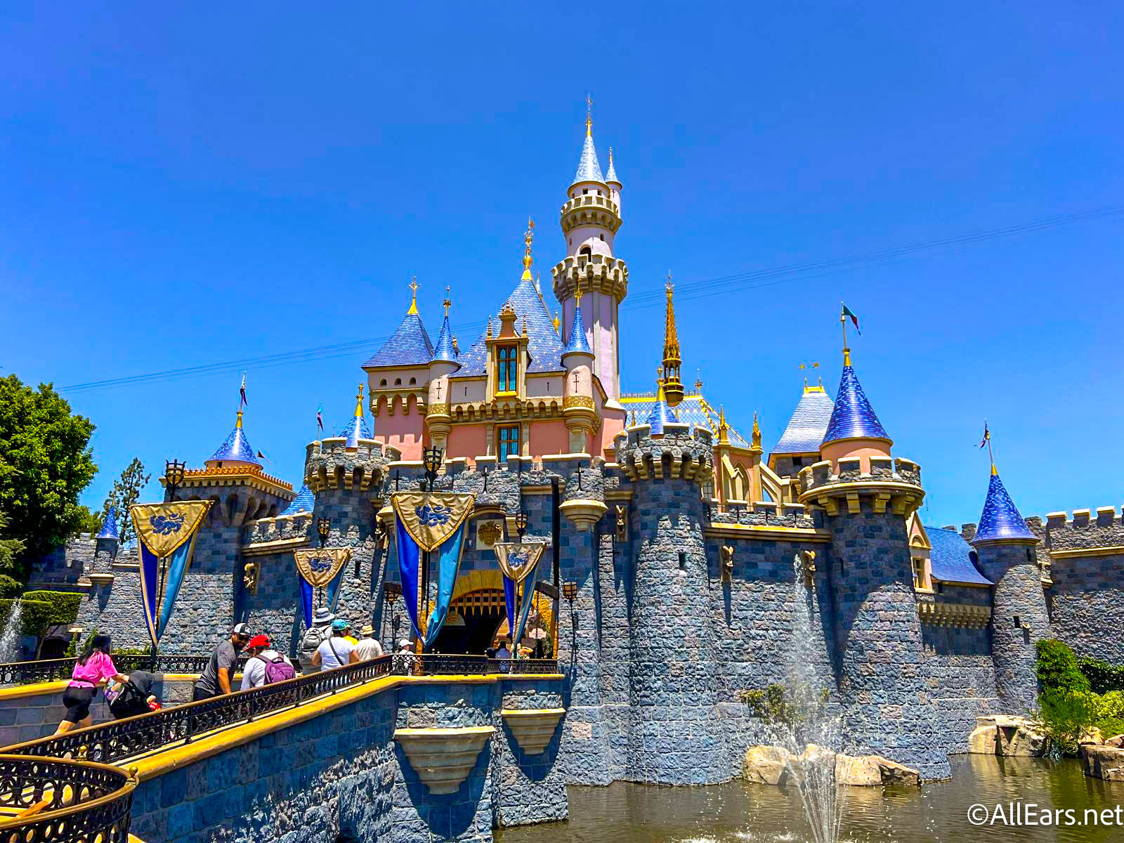
To some extent, we’ve seen wildfires affect Disneyland before, so you may be wondering how close the current wildfires are to the Disneyland theme parks and Downtown Disney. The wildfires have already resulted in the closure of Universal Studios Hollywood, but what about Disneyland? So far, the areas affected by wildfires are further north of Anaheim, so the Disneyland area is not currently affected.
UPDATE: As of Thursday, January 9th, two more areas are experiencing fires, including Lidia and the Hollywood Hills.

The smoke from the Palisades fires is expected to spread to the Anaheim area, so use caution when visiting Disneyland and keep an eye on the situation.

According to The New York Times, the wildfires are currently affecting areas north of Anaheim, including the Eaton area, the Hurst area, and the Pacific Palisades area. Evacuation orders have affected tens of thousands of people living in those areas, with the Palisades having orders recently expanded as those fires spread.
The closest fire to Anaheim remains about 30 miles away, and according to current models, the area isn’t expected to be affected by the smoke from the fires, although that could change.

Officials are warning that the worst is yet to come from the situation, though. High winds are still expected to impact the situation and could cause the fires and smoke to spread farther than they have already. If you are traveling to the area, it is advisable to stay updated on the wildfires and areas impacted by it. These wildfires and smoke could affect travel around California, as well, so make sure you plan accordingly.
We’ll keep an eye on the situation and keep you updated, so be sure to check back with AllEars again soon for more.
8 Rides Will Be Closed at Disneyland in January

Will you be visiting Disneyland soon? Let us know in the comments!


We have a trip planned for the end of February. I am so sad for all the families who have lost so much. I hope they will be able to get the fires under control soon and the families can find solace.
My daughter and grandchildren have a trip planned for next week, flying into LAX on Tuesday. I am concerned for their safety as well as the safety of the residents in areas affected by the wildfires.
Does anyone have any information that will help her navigate the area? We have been trying to get information from the airport; however they aren’t providing too much information. Thank you
if you can, download watch duty or use it in your browser. It shows you areas where the fires are but also shows you evac zones and weather zones etc etc etc. I reccomend google maps for road closure information.